Central Australia Mid 2013
Itinerary
1 July to 14 Aug 2013 from Brisbane to Central Australia via Kilcoy, Dalby, Roma, Tambo, Blackall, Barcaldine, Winton, Mount Isa, Tennant Creek, Alice Springs, West MacDonnell Range gorges, Kings Canyon, Yulara/Uluru, Rainbow Valley, East MacDonnell Range gorges, Ross River Homestead, Old Ambulindum Homestead, Gemtree, Tobermory Station (on the Plenty Highway), Boulia, Winton again, Jundah, Wellford National Park, Isisford (via Stonehenge), Salvator Rosa section of Carnarvon National Park via Tambo, Springsure, Rolleston, Injune, Mount Moffatt section of Carnarvon National Park, Roma then home via Chinchilla, Wondai and Gympie (just for a change).
See a Google Map Green is the general path home. The map is live so you can zoom in etc.
See a Google Map Green is the general path home. The map is live so you can zoom in etc.
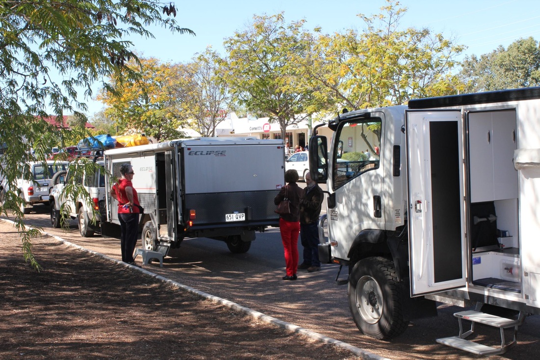
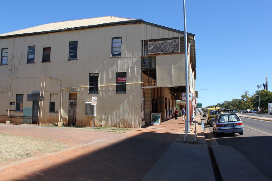
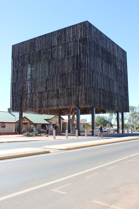
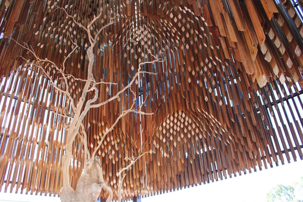
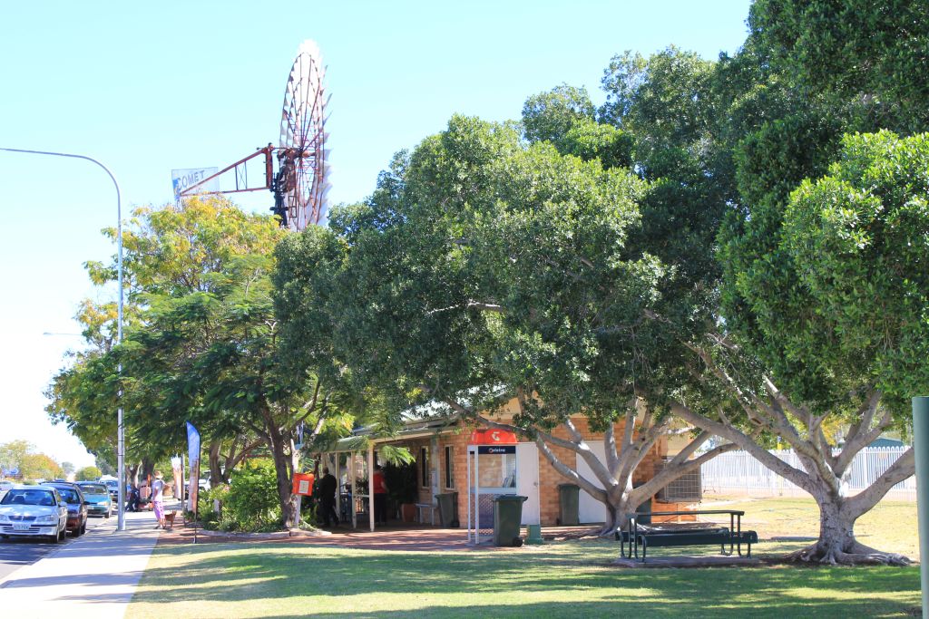
Barcaldine

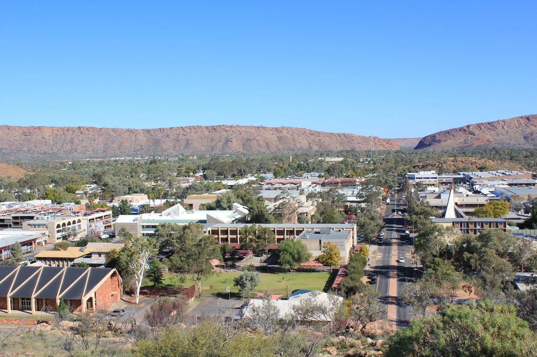
Alice Springs
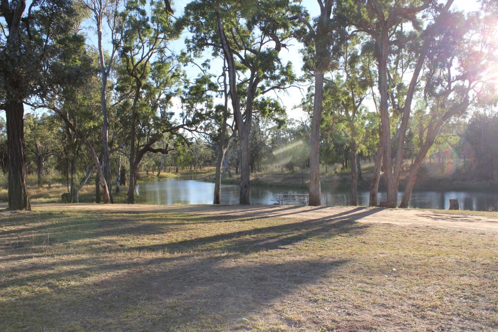
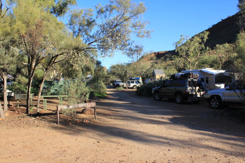
We stayed in Alice Springs twice during the trip. It was the only place it rained. The showgrounds provide a preferable alternative camp site from the caravan parks which are packed at this time of year. Plenty of space, power and clean facilities.


alice springs desert park
The is an excellent site just west of town. Various desert habitats have been created or preserves and a vast array of birds are kept in large aviaries. Several of the these are large enough for visitors to enter and walk around. We also returned for an excellent guided night walk through one of the secure areas that contain various endangered mammals. This is double fenced to exclude the likes of cats etc.
simpsons gap
We carried the two folding bikes (Bike Friday) thousands of km to do this ride along the cross country path to Simpsons Gap and return (about 35km).
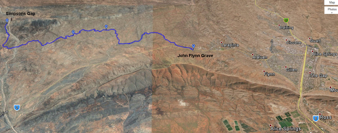
Bike ride from John Flynn's Grave to Simpsons Gap.
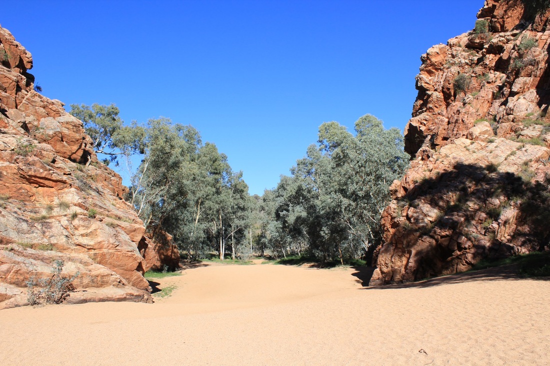
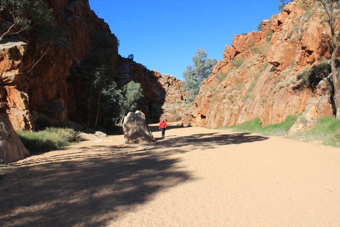
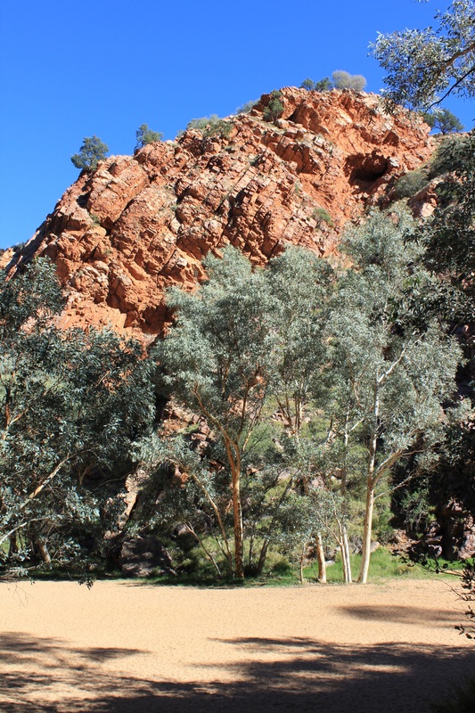
Ormiston POund & Gorge
In the West Macdonnell Ranges. Camping area is small in comparison with the day use facilities. There is a kiosk open during the day. The Pound Walk is a must do and the pound itself is, in its own way, on a par with Wilpenna in SA.
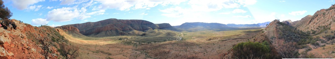
Ormiston Pound
Kings Canyon
Kings Canyon is located about 300 km north east of Uluru and 450 km south west of Alice Springs
Uluru
Uluru is made of sandstone unlike the Olgas (30 km away) which are a conglomerate of gravel and boulders. The red colour is the weathering of the iron oxide in the sandstone. It is:
It is still big 40 years after seeing it for the first time.
- 862.5 metres above sea level,
- 348 metres (1141 feet) high,
- 3.6 km long
- 1.9 km wide
- 9.4 km around the base (that's walking),
- covers 3.33 sq km
- extends about several km into the ground, it is not exactly known how far
- it is not the largest monolith in the world (Mt Augustus in Western Australia)
It is still big 40 years after seeing it for the first time.
The Olgas
- Kata Tjuta is located north west of Uluru and is made up of 36 smaller monoliths.
- The highest monolith, Mount Olga, stands 546 metres tall.
- The Olgas cover about 35 sq km, and the circumference is about 22 km.
- The distance to Uluru is about 30 km as the crow flies, and it is a 50 km drive.
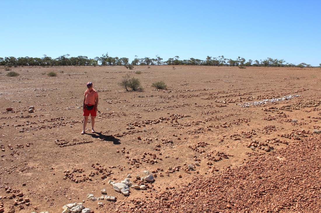
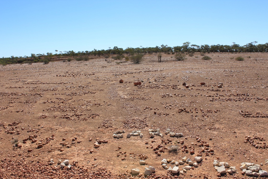
henbury meteorite craters
Just one of several sites in NT of meteorrite strikes. Here there are 12 craters - the walk skirts around three. They range in size from 7 to 180 metres across and 15 meters deep. Pieces of nickel-iron alloy were left. One piece - 44 kg - is in a museum in Alice. Other sites of meteorite strikes are: Huckitta (Boxhole) >1400 kg, Artlunga 18kg, and much smaller ones at Harts Range, Bond Springs and Gosse's Bluff.
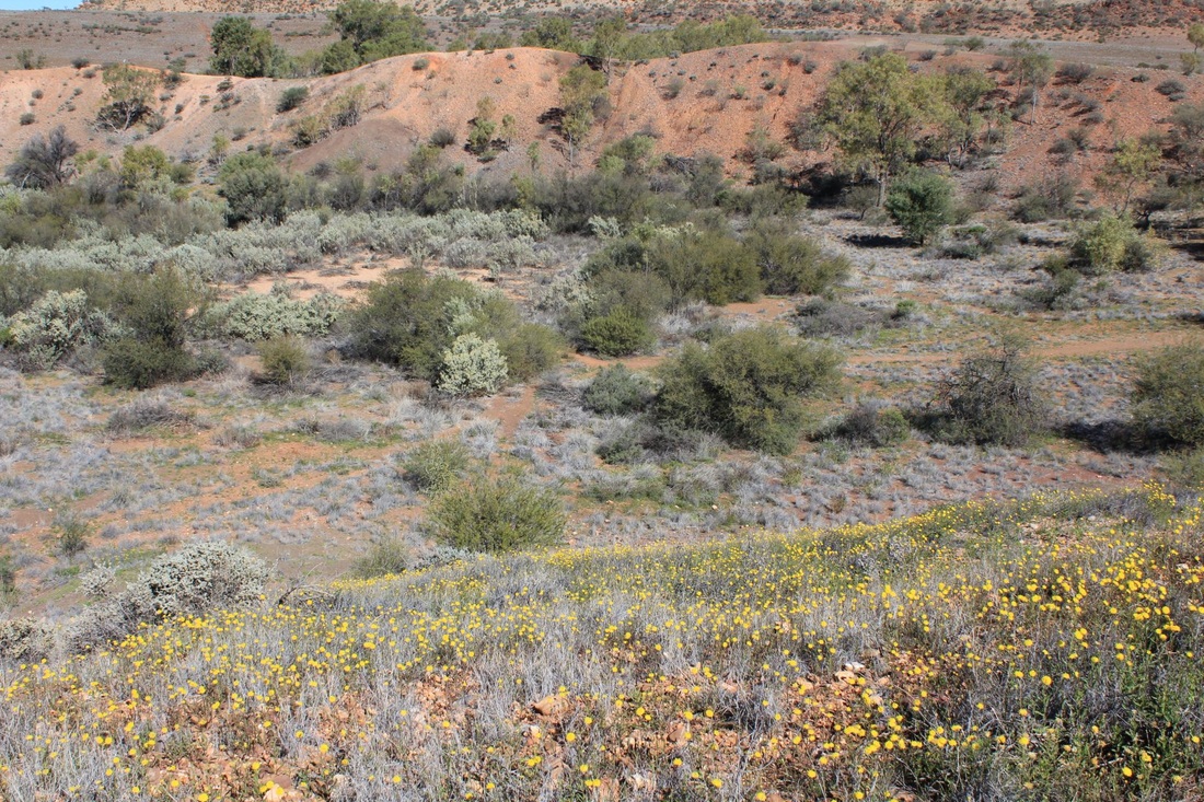
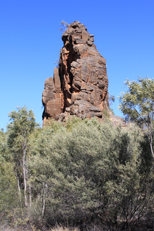
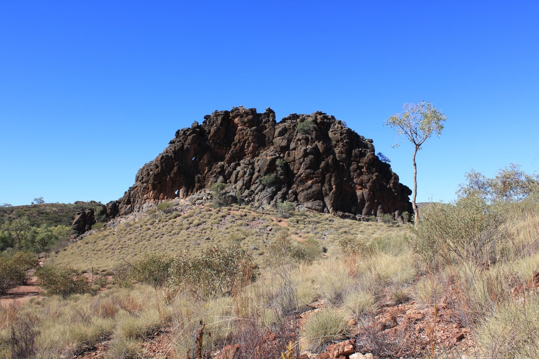
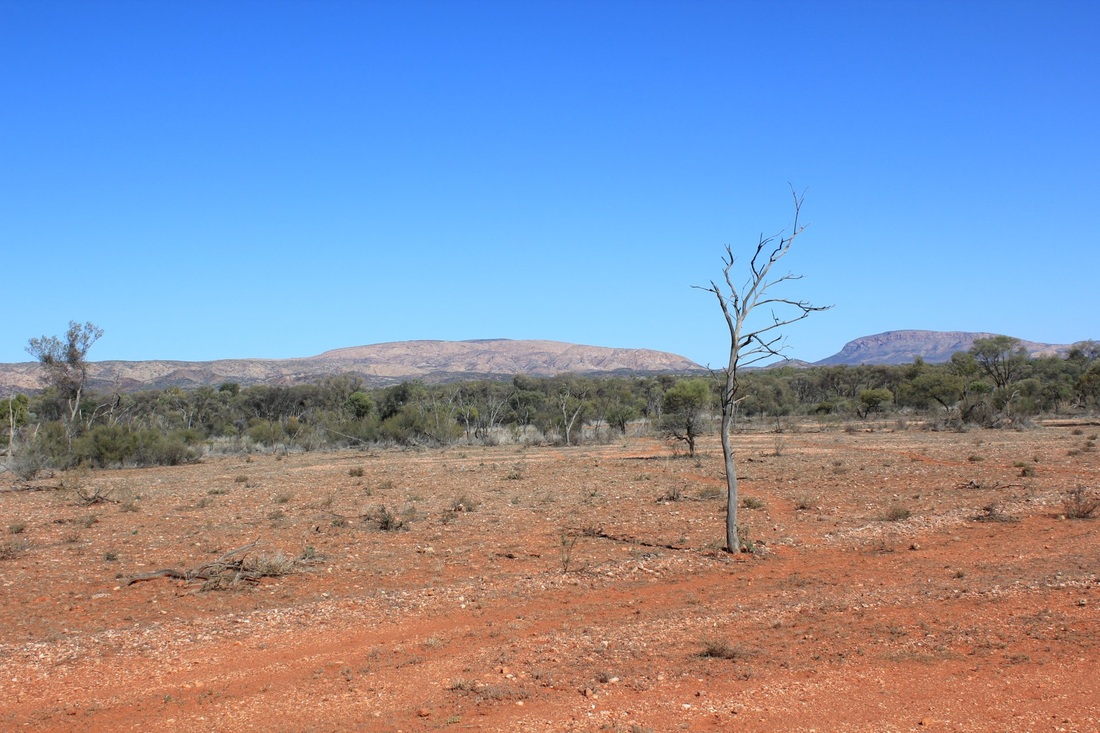
Rainbow valley
This area was originally in a warm, wet climate. Iron and silica was dissolved from the sandstone. When the area changed to a dry climate the evaporation of the water caused the dissolved minerals to be drawn upwards by capillary action of the groundwater beneath. The iron provides the colour and the silica cements the sand grains together. The red coloured area forms a cap that slows the erosion of the softer white rock beneath.
East Macdonnells - Emily Gap & Corroboree Rock
Leaving Alice we visited the "Gaps" and then on to Trephina Gorge.
East macdonnells - Trephina Gorge
artlunga historical reserve
Gold mining town from 1887.
old ambulindum homestead & pinnacle track
We continued north and then west along the Artlunga "Tourist Drive" for our next overnight stop at the homestead. Two other campers showed up later. The next day we continued west and then left the "Tourist Drive" to track north along the Pinnacle Track to hit the Plenty Highway just east of Gem Tree.


Gem tree & Garnets
We stayed at Gem Tree for 2 nights and decided to try our luck one morning at one of the mining leases.
Plenty HWY & Tobermory
The return to QLD was via the Plenty (NT) and Donohue (QLD) highways. We had been told various stories about the current state of both - generally: the Plenty is great and the road on the QLD side is *&*#. While the NT side was well graded and the QLD side generally not, I found the QLD side a more enjoyable drive. (Note: you can improve the quality of the video to 720p HD via the settings icon after the video starts).
boulia to winton
The Kennedy Developmental Road is sealed mostly single track. The highlight of this drive was Cawnpore Lookout.
jundah & wellford np
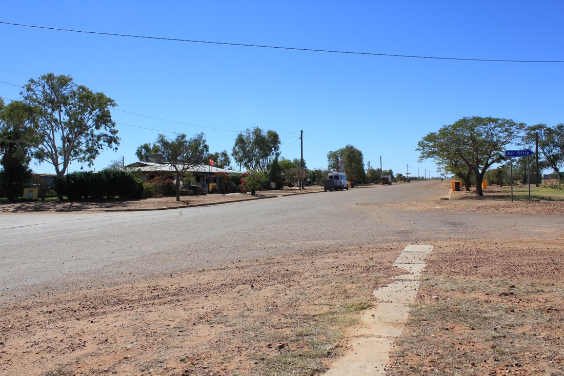
STONEHENGE
We came this way merely to see Stonehenge. Population 27, landing strip, free camping and nice Visitor Centre. Yes a pub where we had lunch.

Carnarvon Np
Salvator Rosa and Mount Moffat sections of the NP - photos to come.
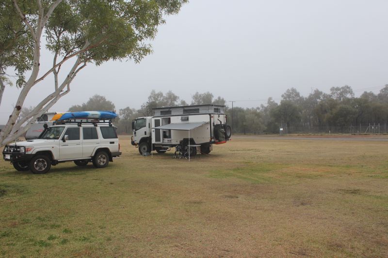
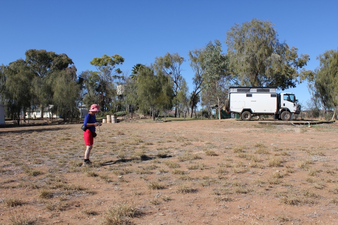
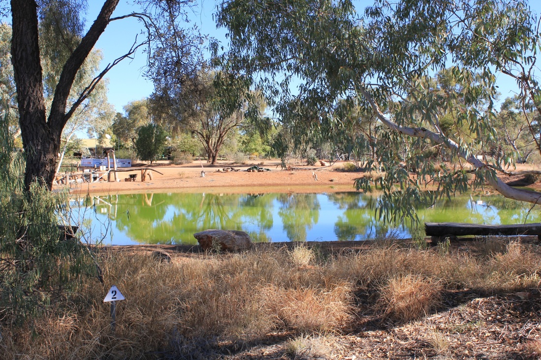
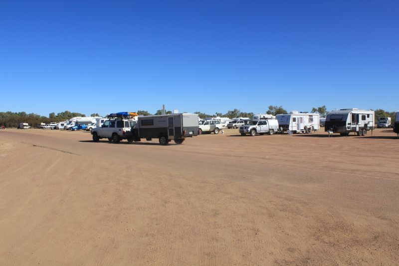
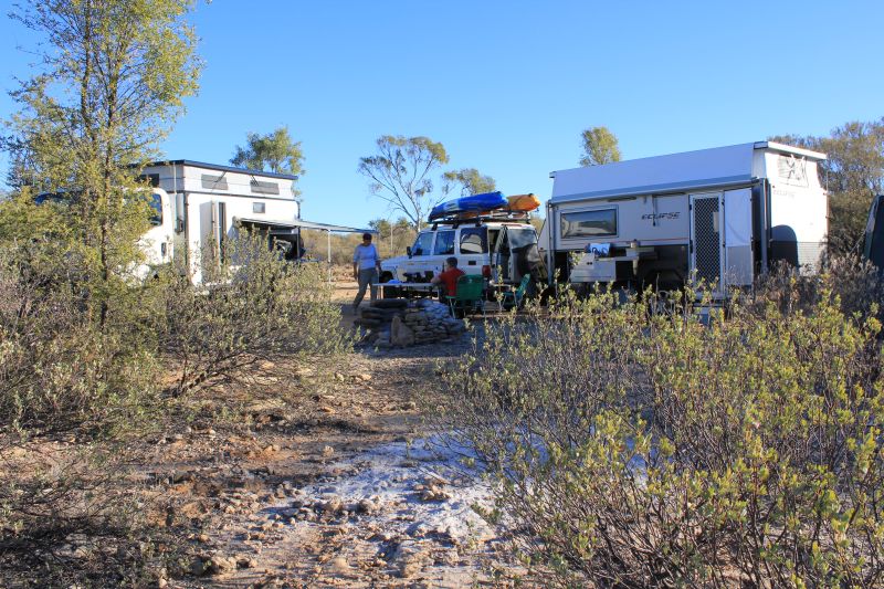
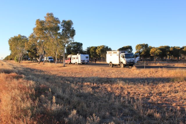
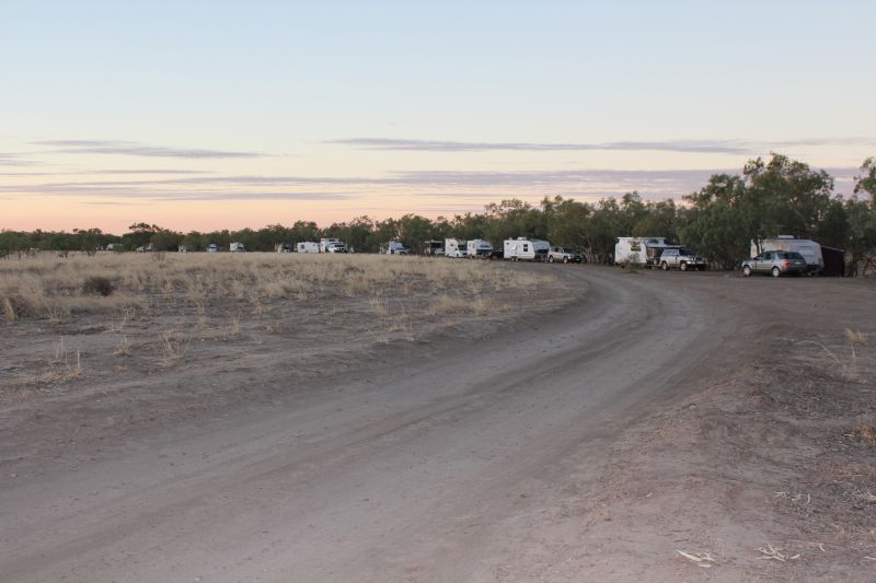
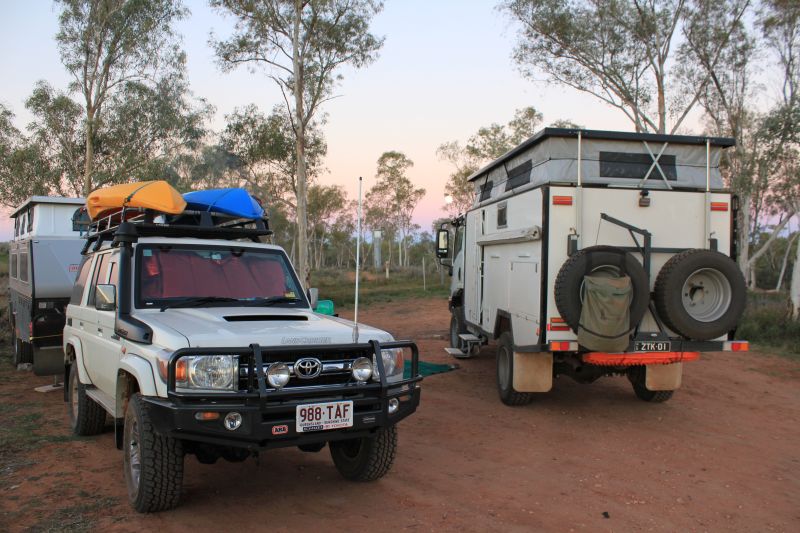
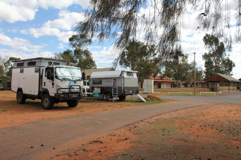
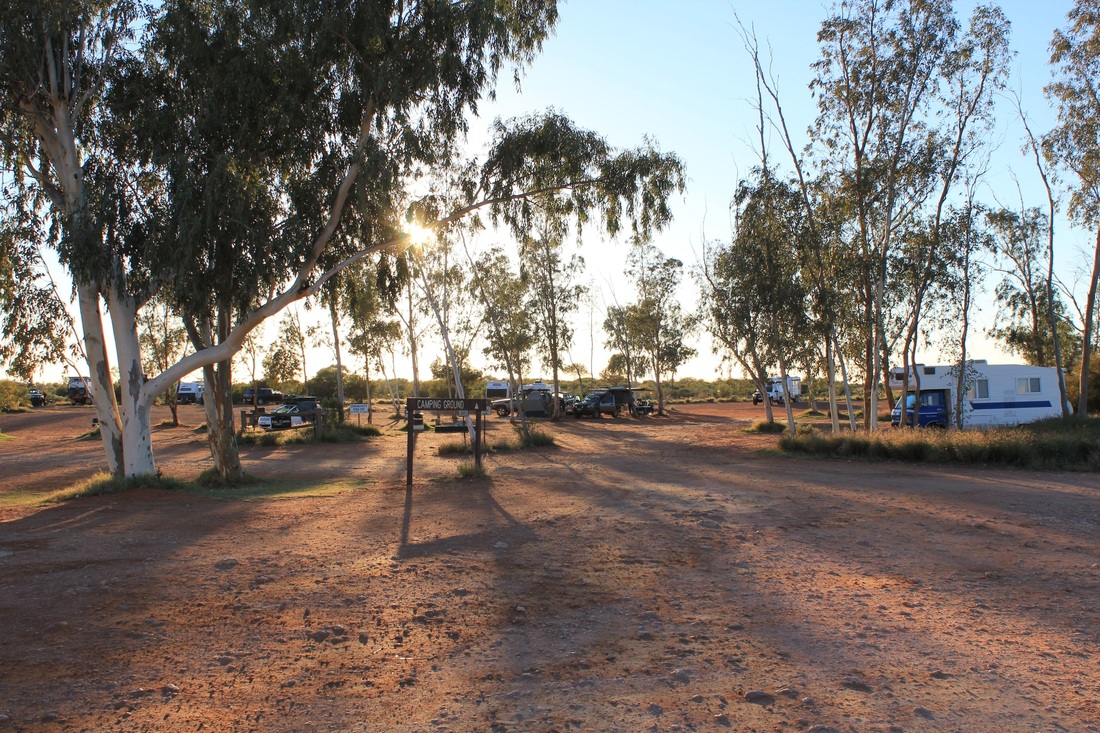
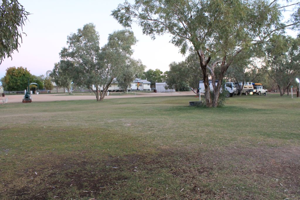
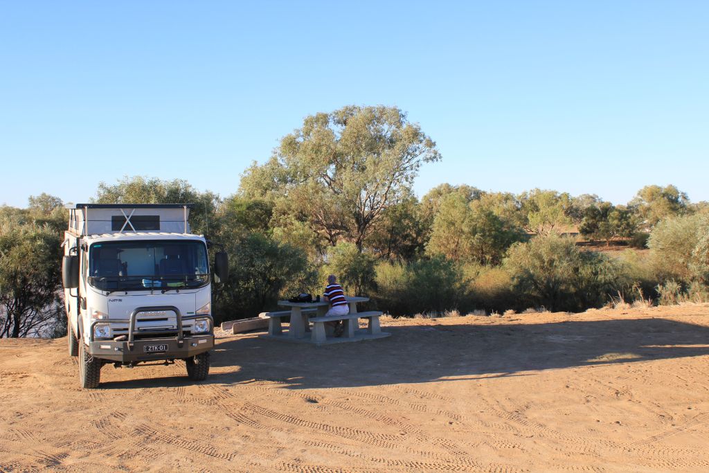
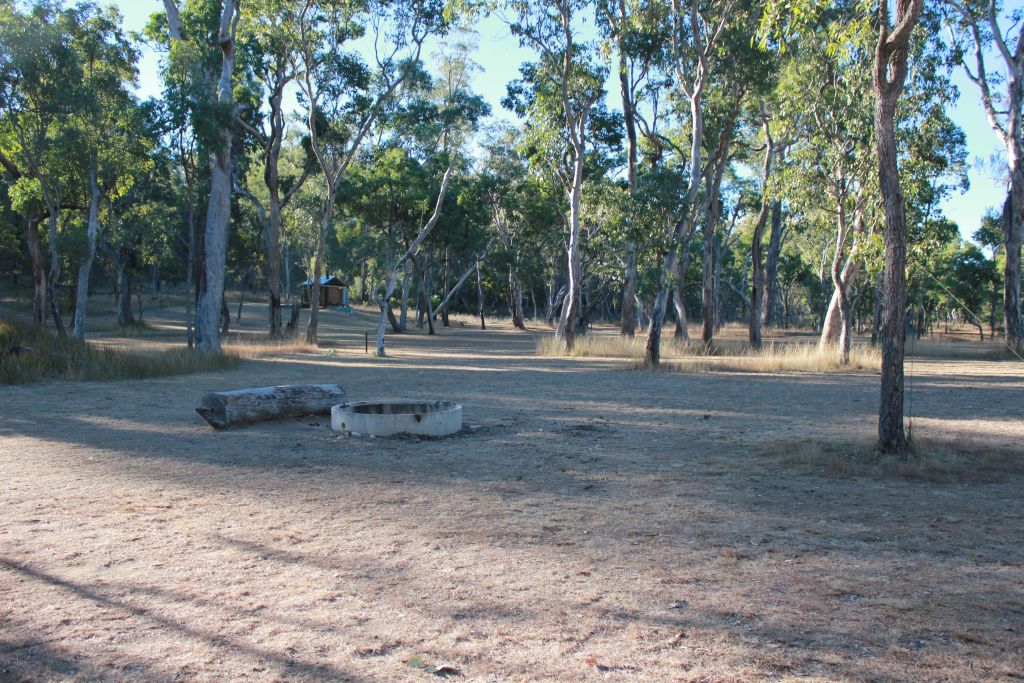
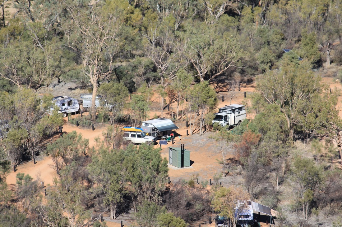
CAMPSITES
We thought to avoid caravan parks whenever possible and used the Wikicamps app, Boiling Billy and Camps books to try and locate alternatives. This worked out well. Some highway roadside camps were not a problem as the roads don't carry the volume of night time traffic as on the coast.


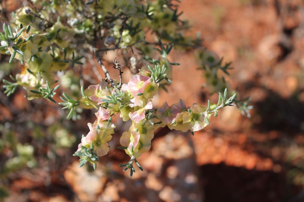
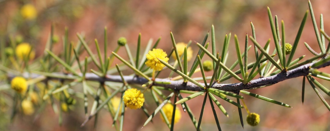
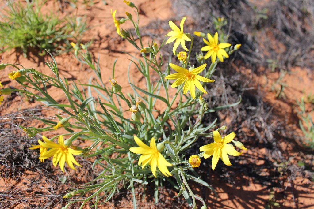
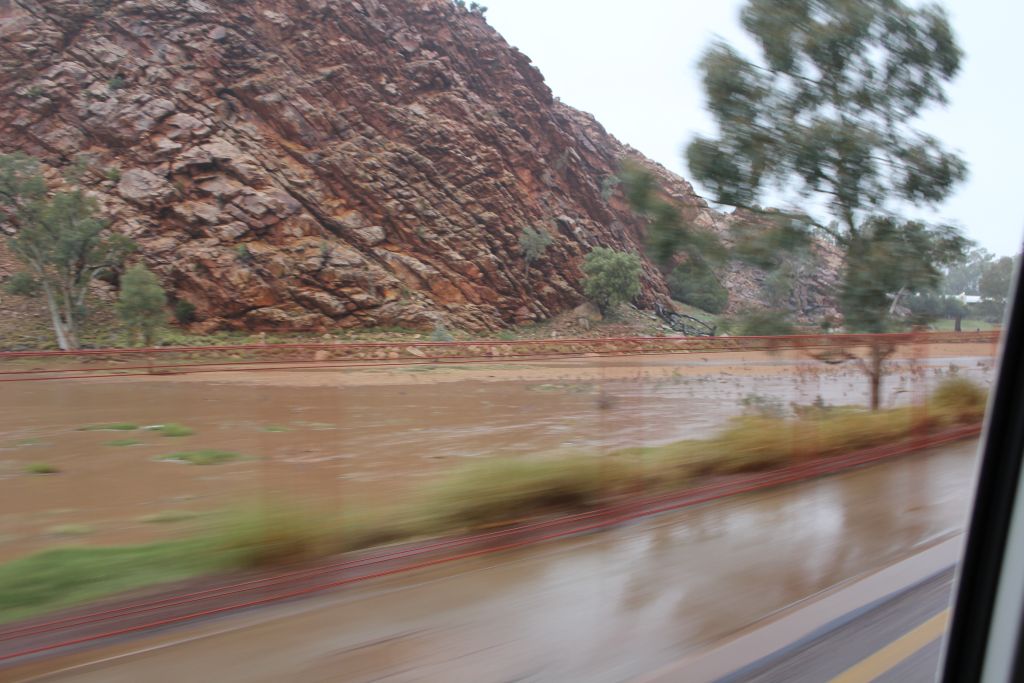
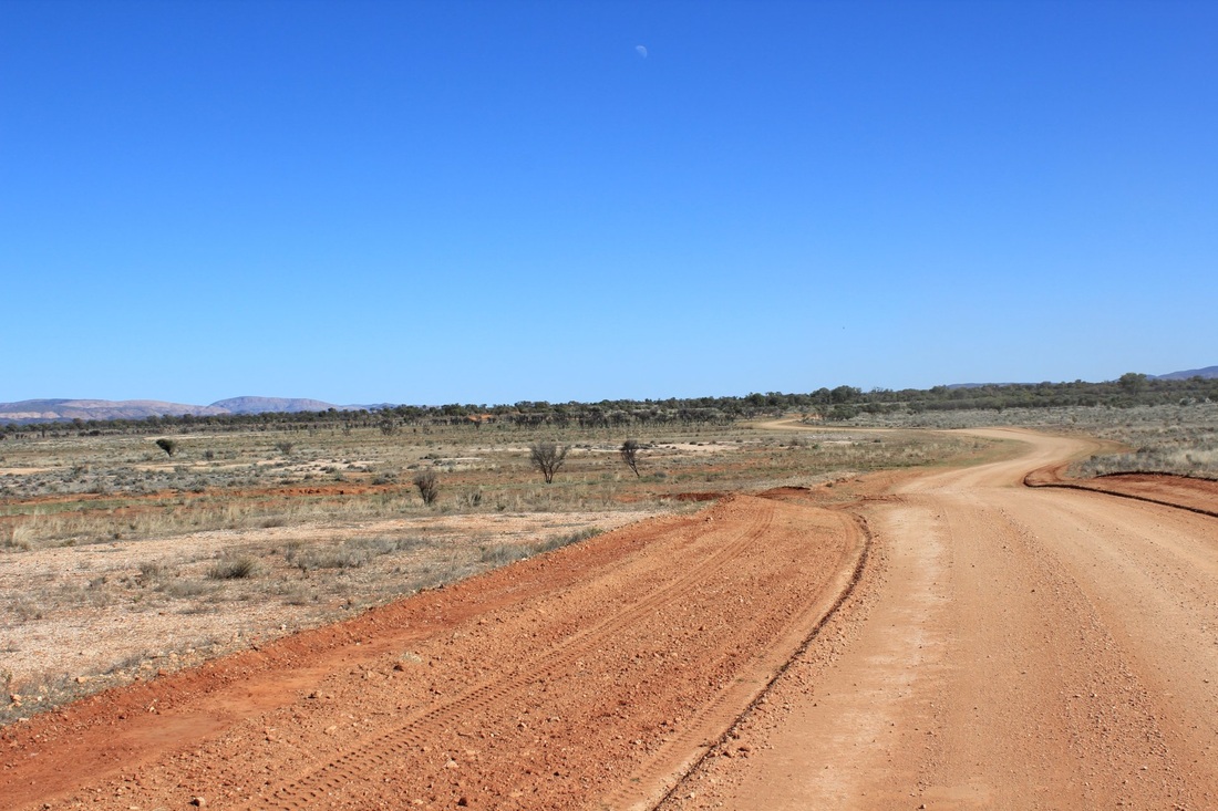
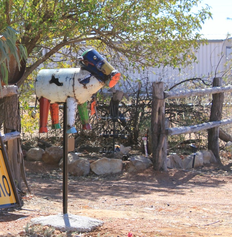
Road Scenes
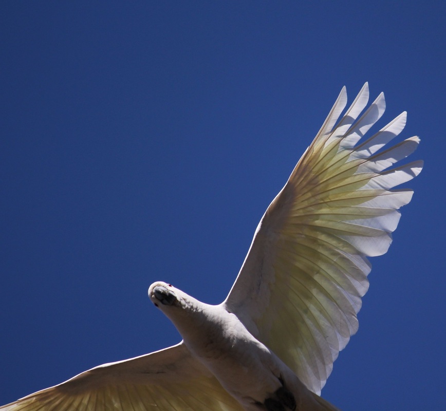
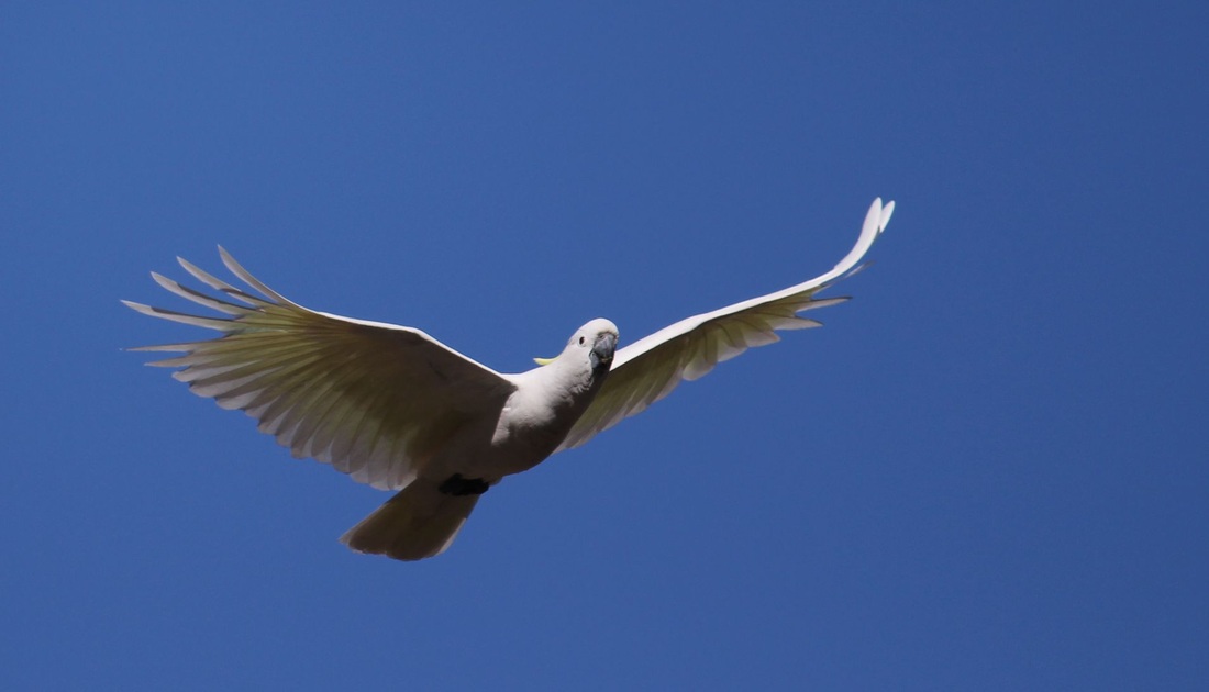
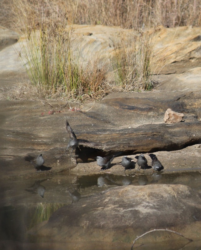
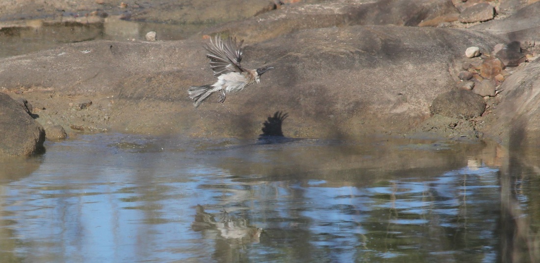
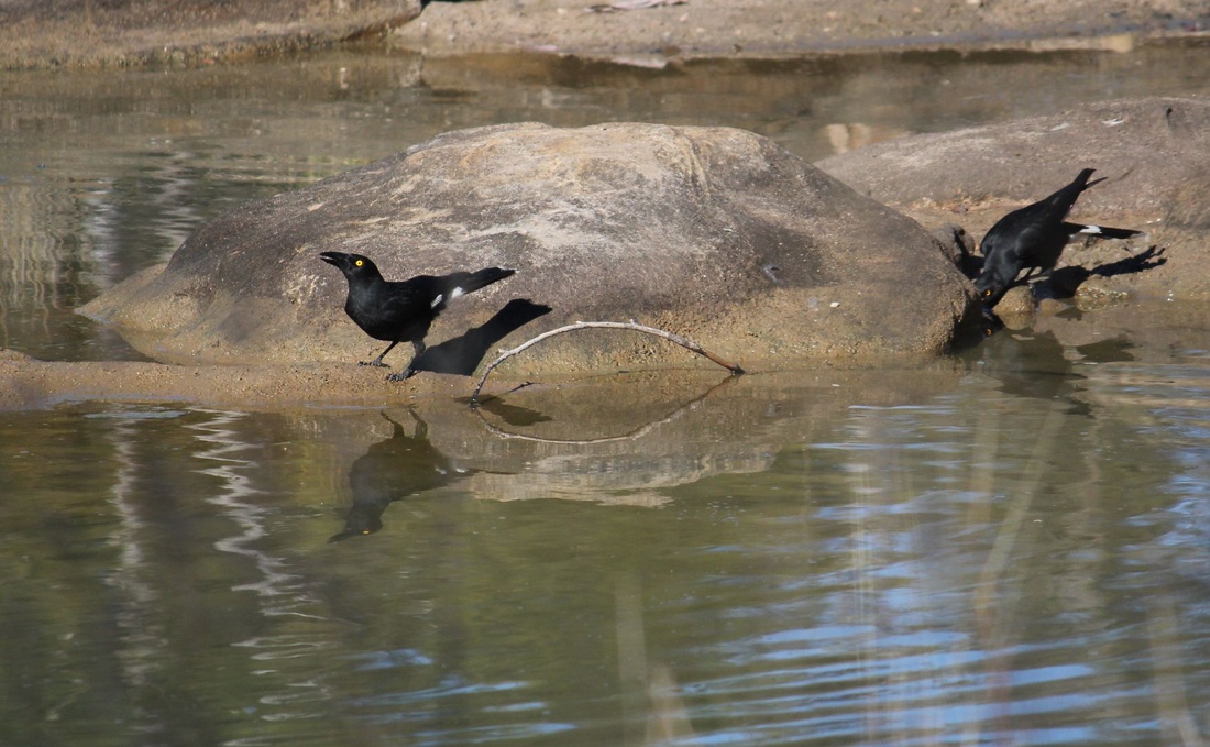
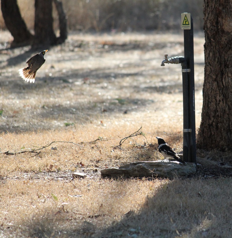
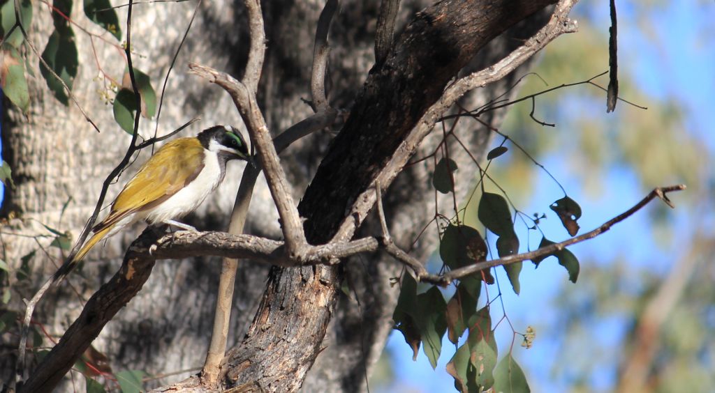
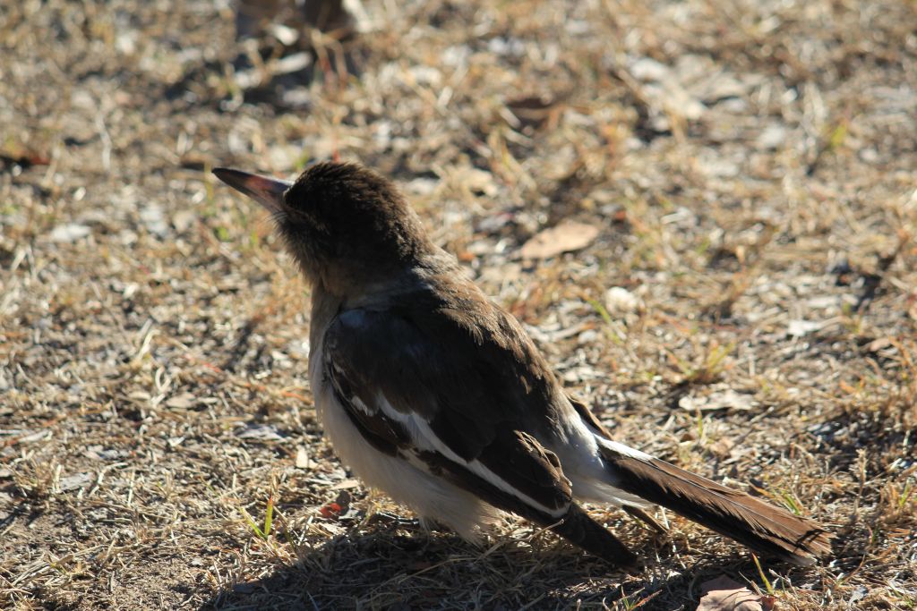
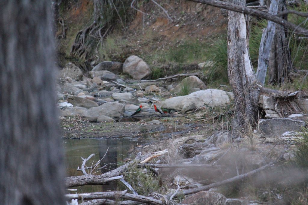
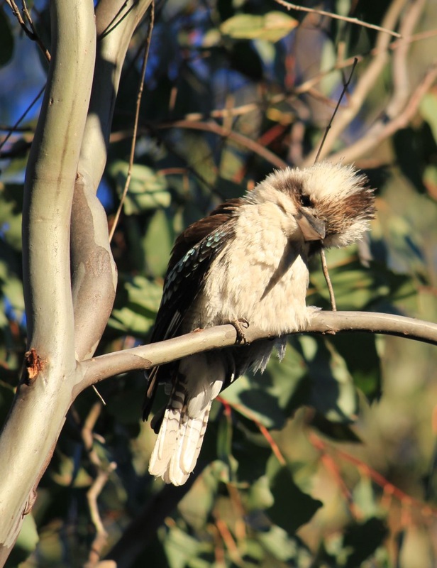
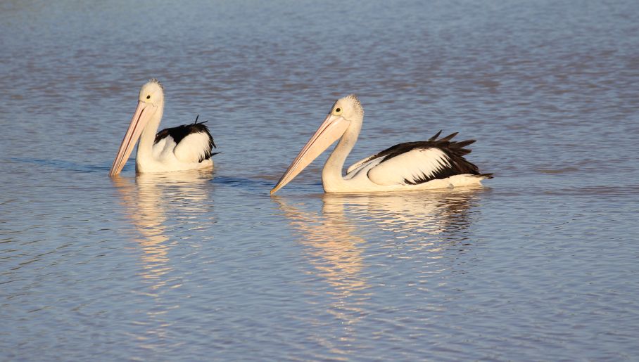
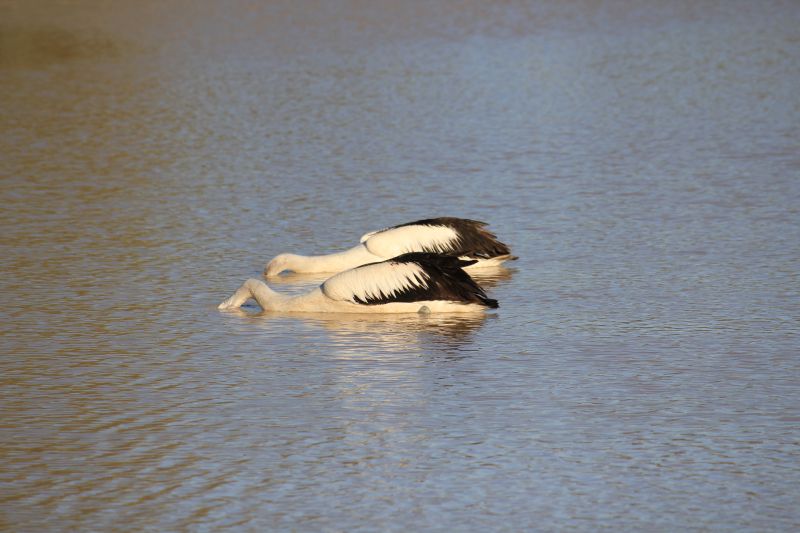
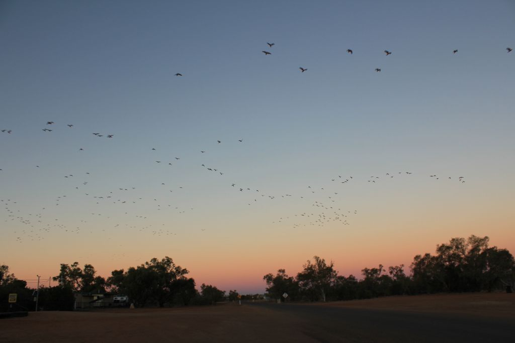
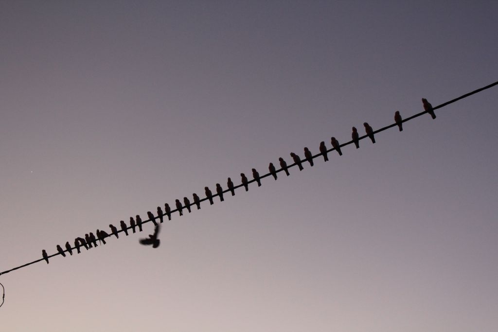
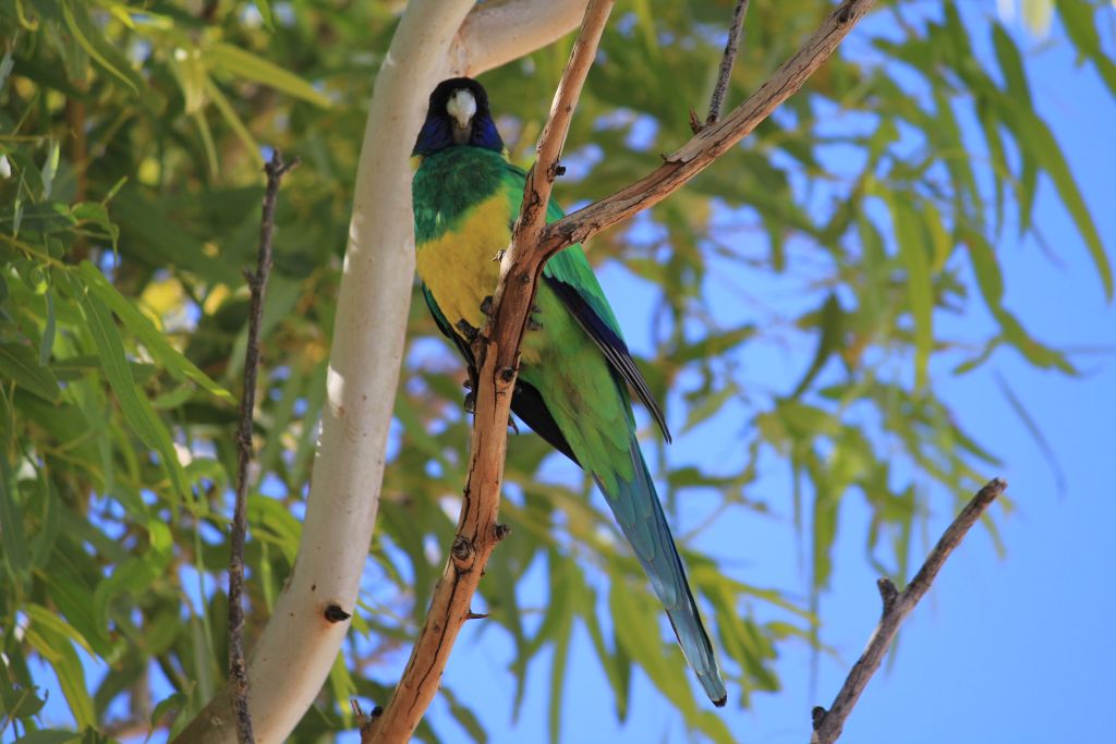
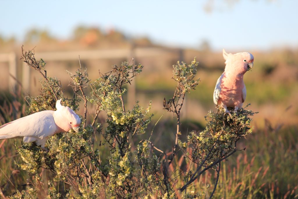
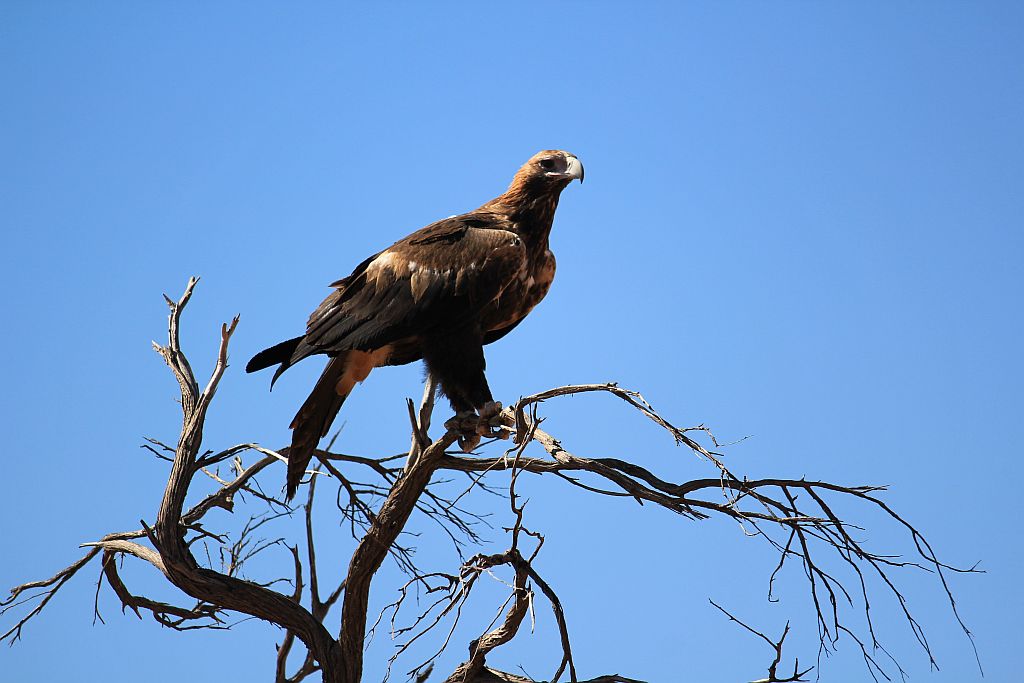
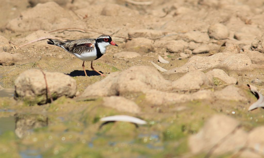
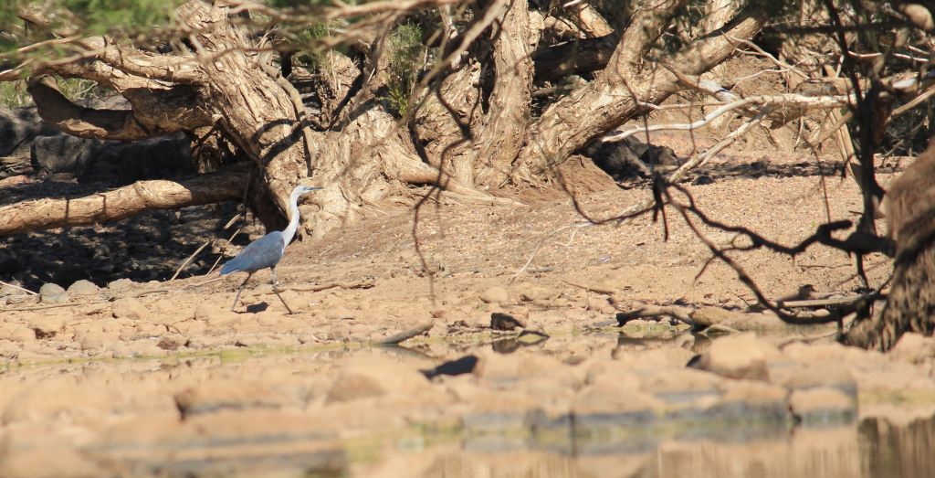
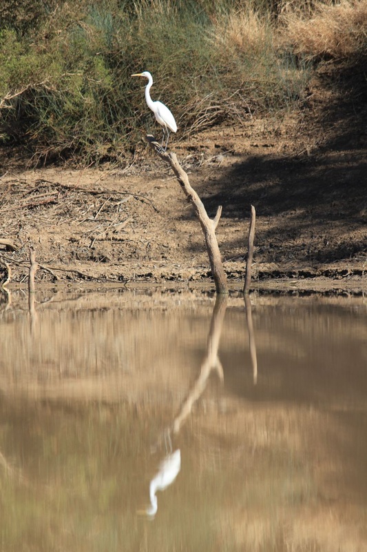
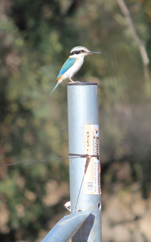
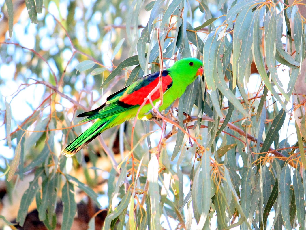
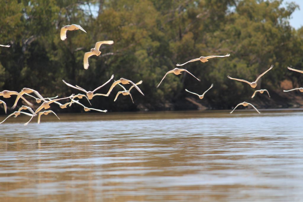
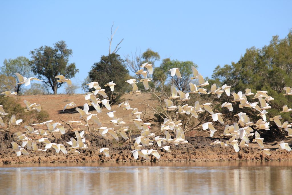
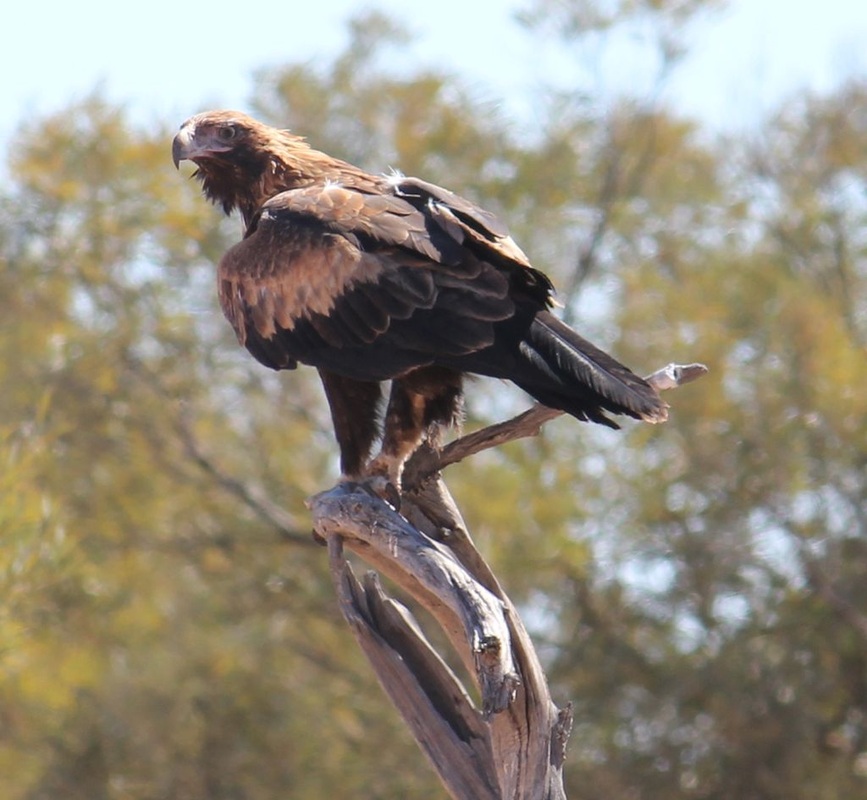
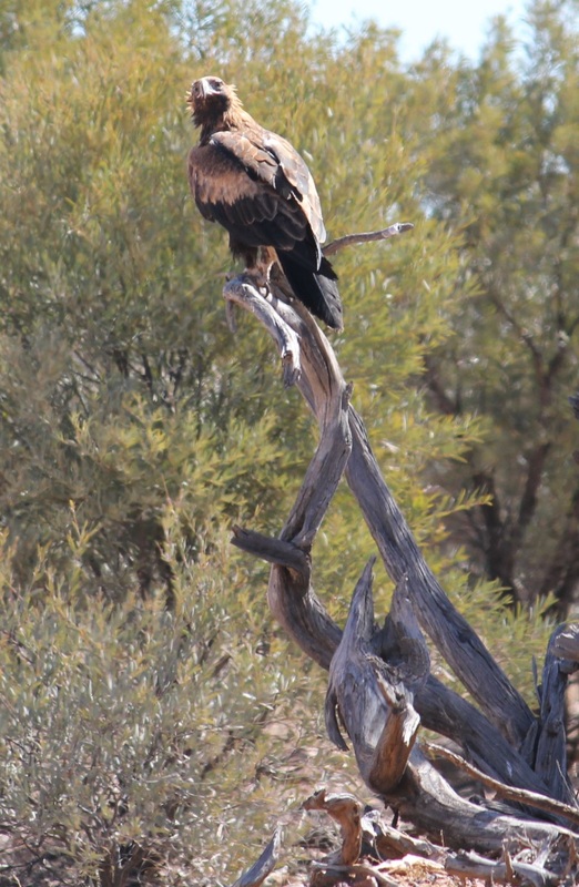
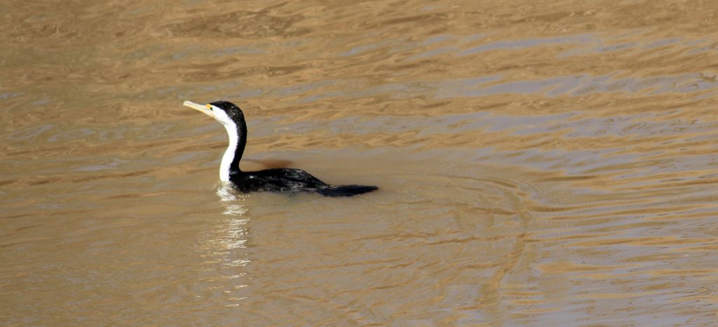
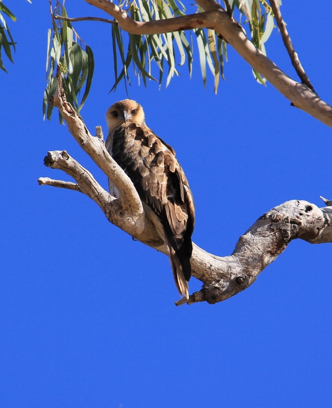
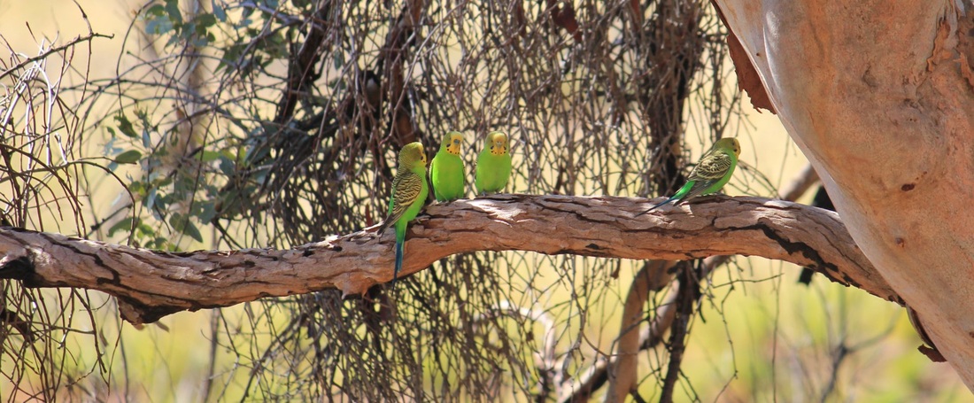
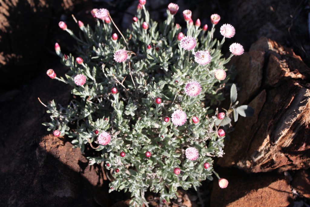
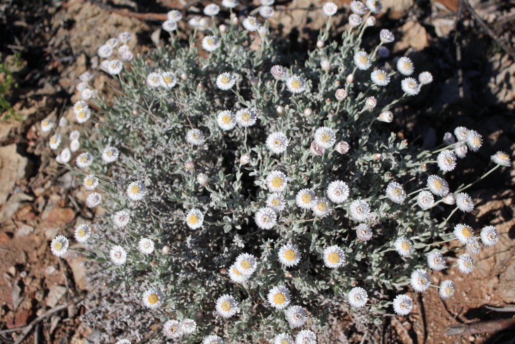
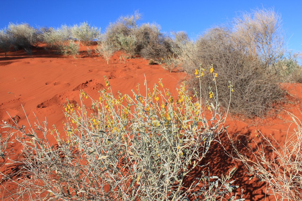
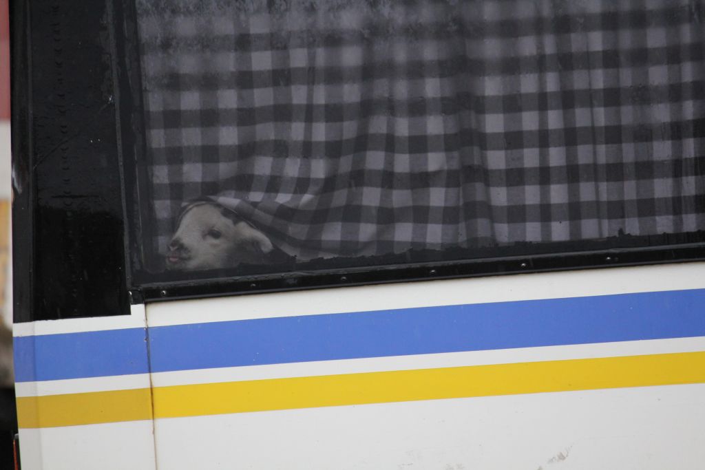
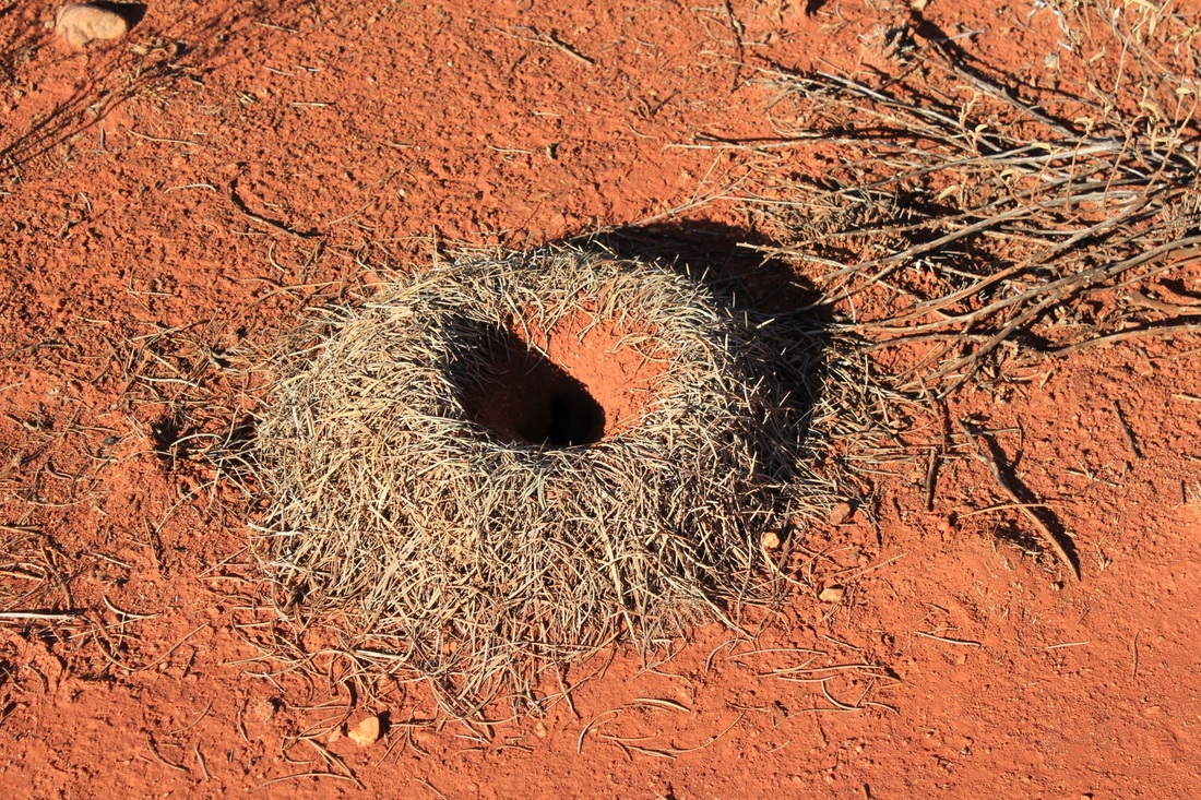
stray BIRDS
Click of the 1st photo to enlarge and scroll through.